Nature Stuff
Prince Edward County, Ontario, Canada
Menu
Home
Photo Galleries
Birding
Birding
Birding 2
Birding Archive
Nature Sources
Nature Bits
Nature Bits
Nature Bits 2
Nature Bits Archive
Businesses
Books
All Columns
All Columns
Picton Gazette
The Scoop (Tamworth)
NATURAL THEMES
Opportunities
Reminisce
Biography
Events
Contact
Welcome To Naturestuff.net
Slide 1
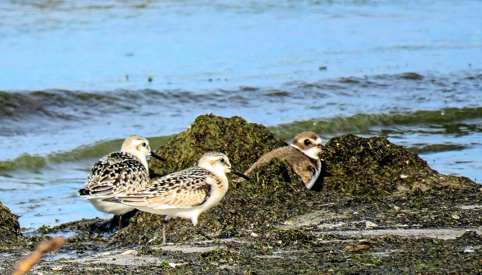
Autumn Shorebirds
Photo by Barry Kant
Slide 1
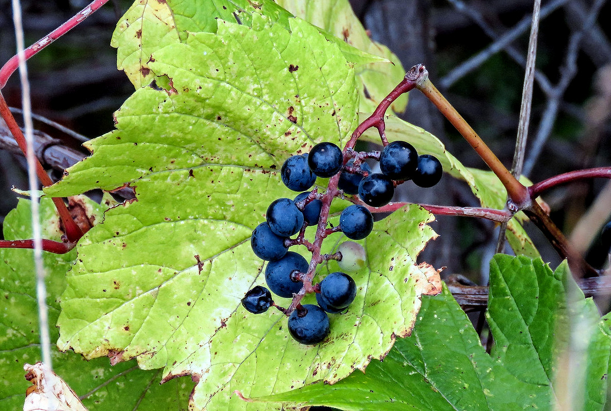
Wild Grapes
Photo by Barry Kant
Slide 1
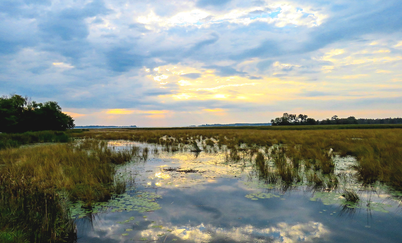
Presqu'ile Marsh
Photo by Barry Kant
Slide 1
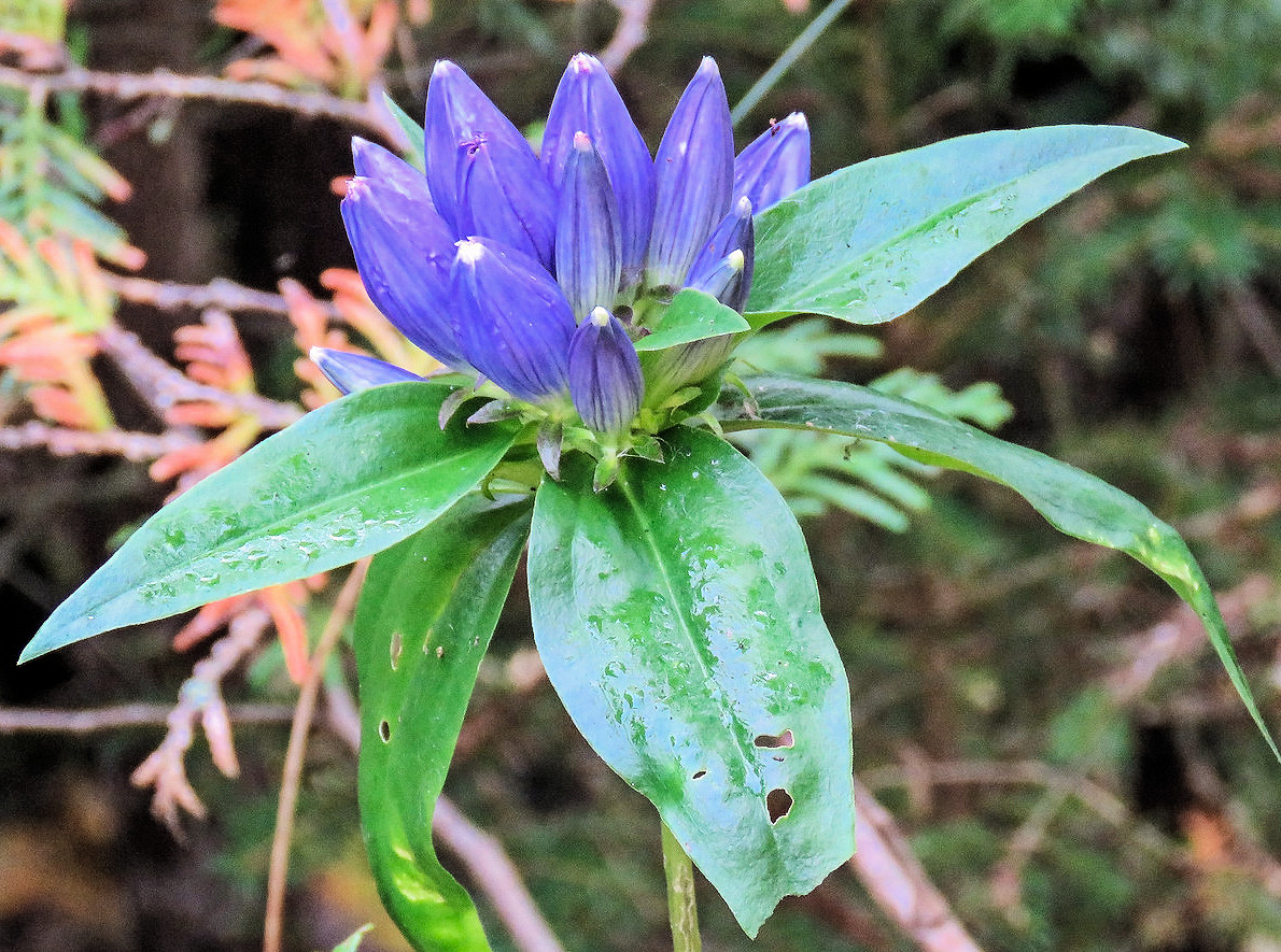
Closed Gentian
Photo by Barry Kant